Brief reprieve before Qld battered by hail storms
Dangerous storms threaten parts of Queensland with locals warned about damage from giant hailstones and flooding.
Dangerous storms are still predicted to pass over south east Queensland and north east New South Wales this week following weeks of heavy rain, storms and flooding.
Low atmospheric pressure over southern inland Queensland has set in motion a number of severe storms this morning, with Queensland’s Fraser Coast seeing the worst of the weather.
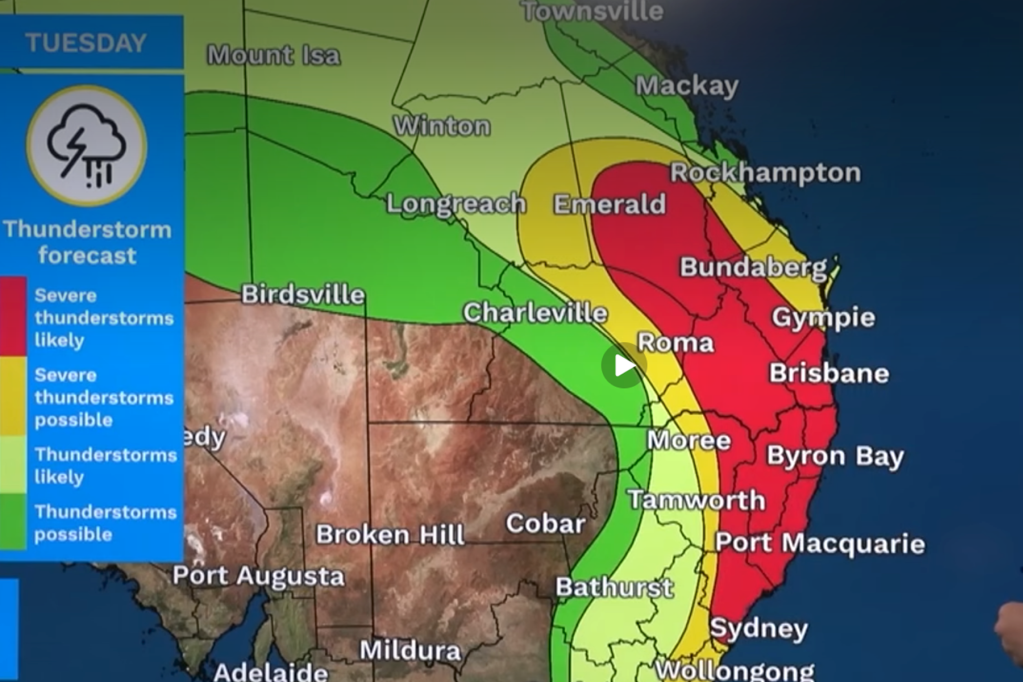
The Bureau of Meteorology (BoM) has warned that “very dangerous thunderstorms” could land on the east coast from Rockhampton to as far south as Sydney, with conditions forecasted to peak today.
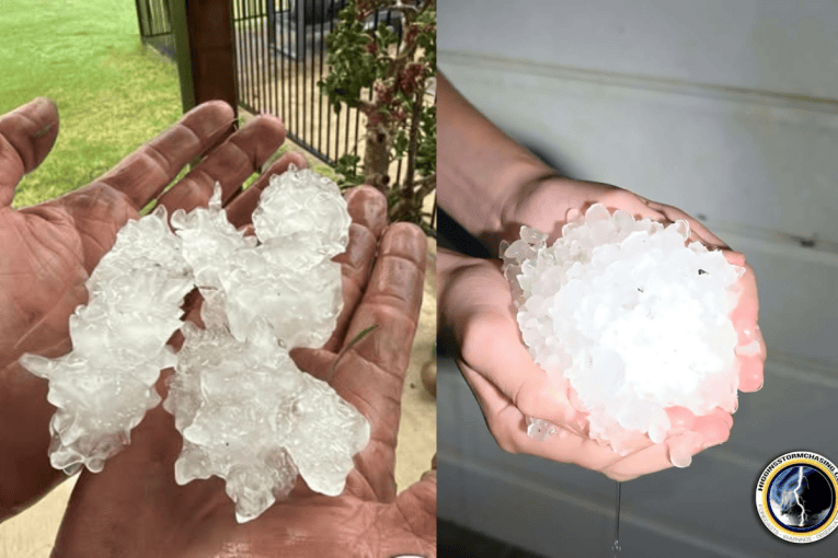
BoM warns that destructive winds above 125km/h, heavy rain leading to flash flooding and giant hail more than 5cm in diameter can be expected across this region north of Port Macquarie.

Meteorologists have warned residents to prepare for hail damage to property, wind damage to trees and powerlines, and road closures and flash flooding.
Storms are expected to peak around 2pm this afternoon and to dissipate into the night, according to BoM forecasts.
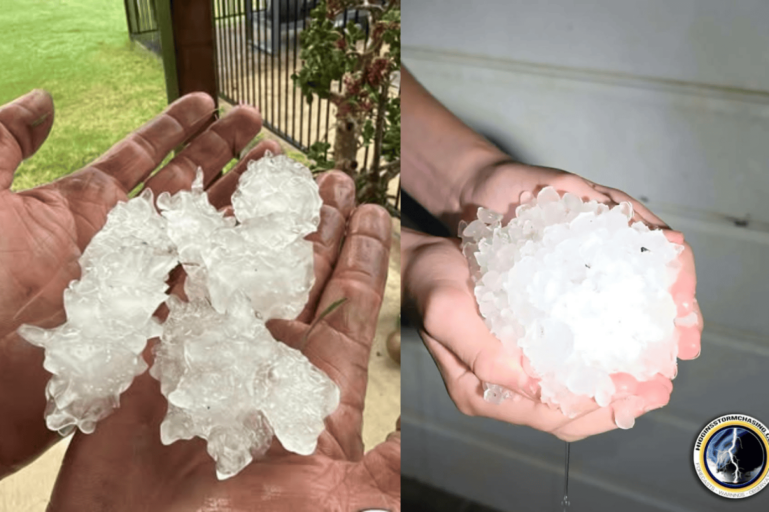
Large hailstones of up to 10cm, damaging winds and rain have already been reported across SEQ, with huge piles of hail reported in Maryborough.

Hail was also reported in Glenwood, Granville and Teddington (near Tiaro), as well as lightning striking at Dundowran Beach in Hervey Bay last night.
Very dangerous supercell thunderstorms have a chance to develop across SEQ this week, potentially bringing winds of up to 125km/hr.
Stay informed, daily
Due to high atmospheric moisture, strong instability and very fast wind shear, Higgins Storm Chasing has warned of the potential for high precipitation supercells.
A high precipitation supercell typically results in extreme rainfall and flash-flooding, along with microbursts of destructive winds, 125km/hr winds and hailstones of 5-10cm.
Higgins Storm Chasing has also warned of a potential tornados from Caboolture down to Stanthorpe and the Gold Coast down to Sydney today as the low pressure system threatens a storm outbreak.
The Bureau of Meteorology predicts that storms across SEQ should greatly alleviate by Thursday, as storms head to far north Queensland and the Northern Territory.
Want to see more stories from InDaily Qld in your Google search results?
- Click here to set InDaily Qld as a preferred source.
- Tick the box next to "InDaily Qld". That's it.